Ogun River, Lagos–Ibadan Expressway • Masterplan Proposal
Kara Waterfront
Twenty-three hectares on a river that several hundred thousand people cross every day and nobody has ever stood beside.
Ogun River, Lagos–Ibadan Expressway • Masterplan Proposal
Twenty-three hectares on a river that several hundred thousand people cross every day and nobody has ever stood beside.
Type
Mixed-Use Masterplan
Site
226,000 m²
Frontage
Ogun River
Status
Masterplan Proposal
At Kara, the Lagos–Ibadan Expressway crosses the Ogun River. Several hundred thousand people pass over that bridge every day, and almost none of them have ever stood on the bank beneath it.
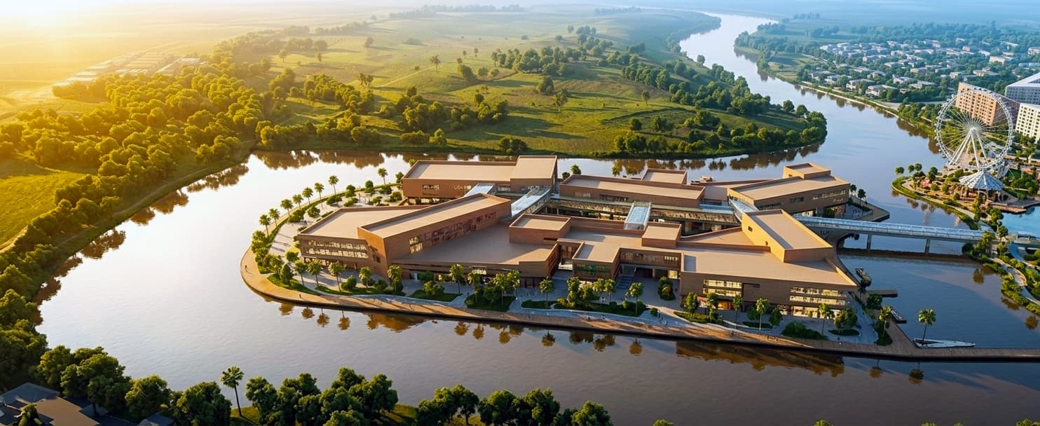
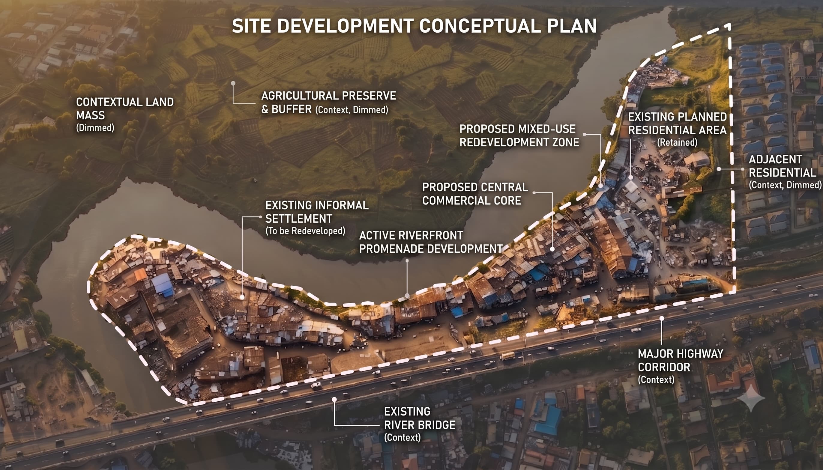
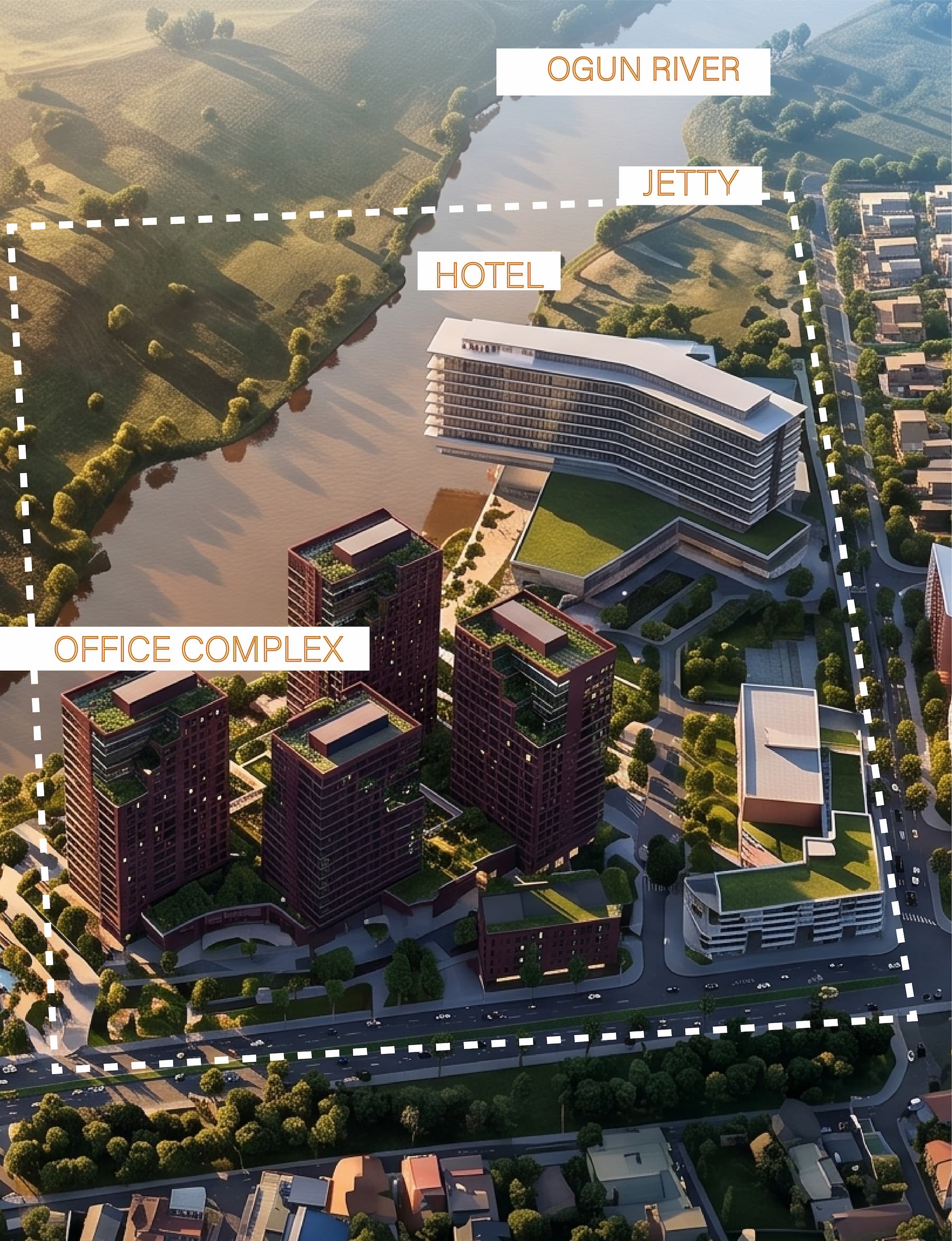
The site is 226,000 square metres — nearly twenty-three hectares — wrapped around a bend in the river, with the expressway along one edge and wetland at both ends. It is one of the largest pieces of genuinely waterfront land anywhere near Lagos, and it currently functions as the back of everything around it.
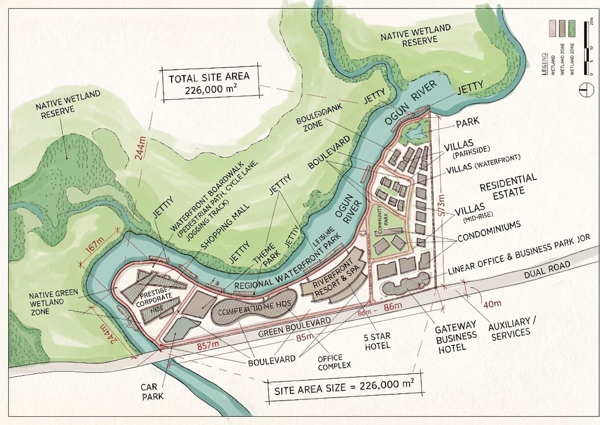
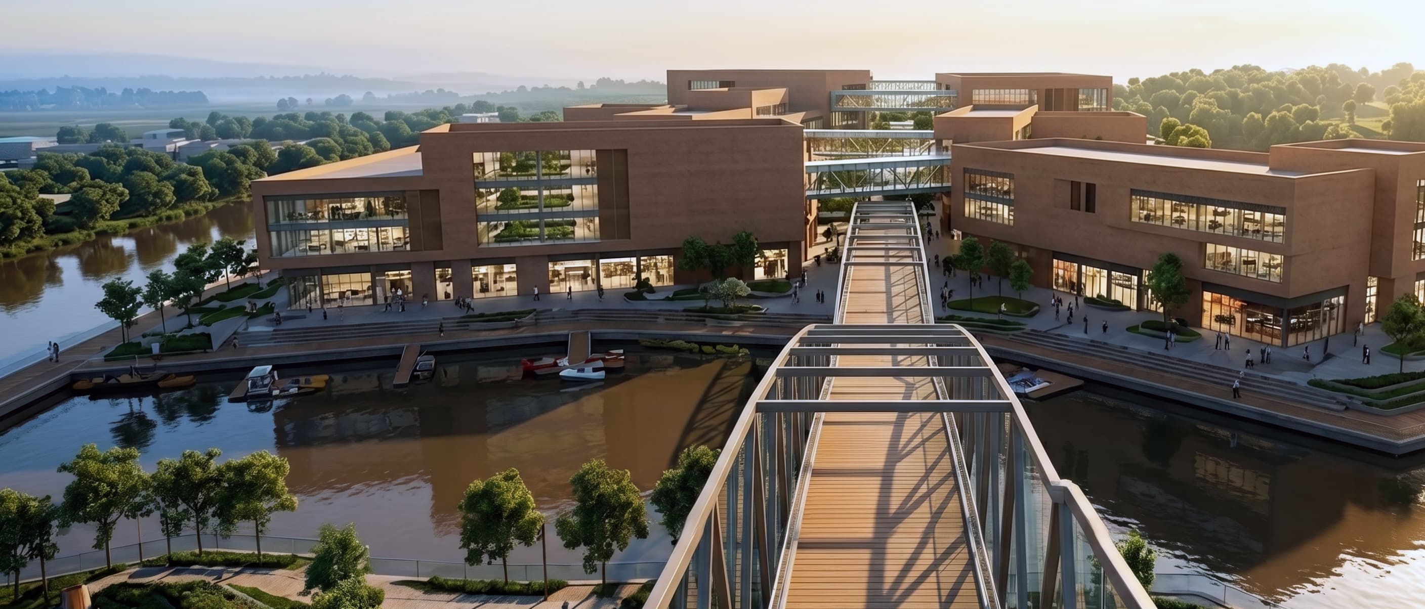
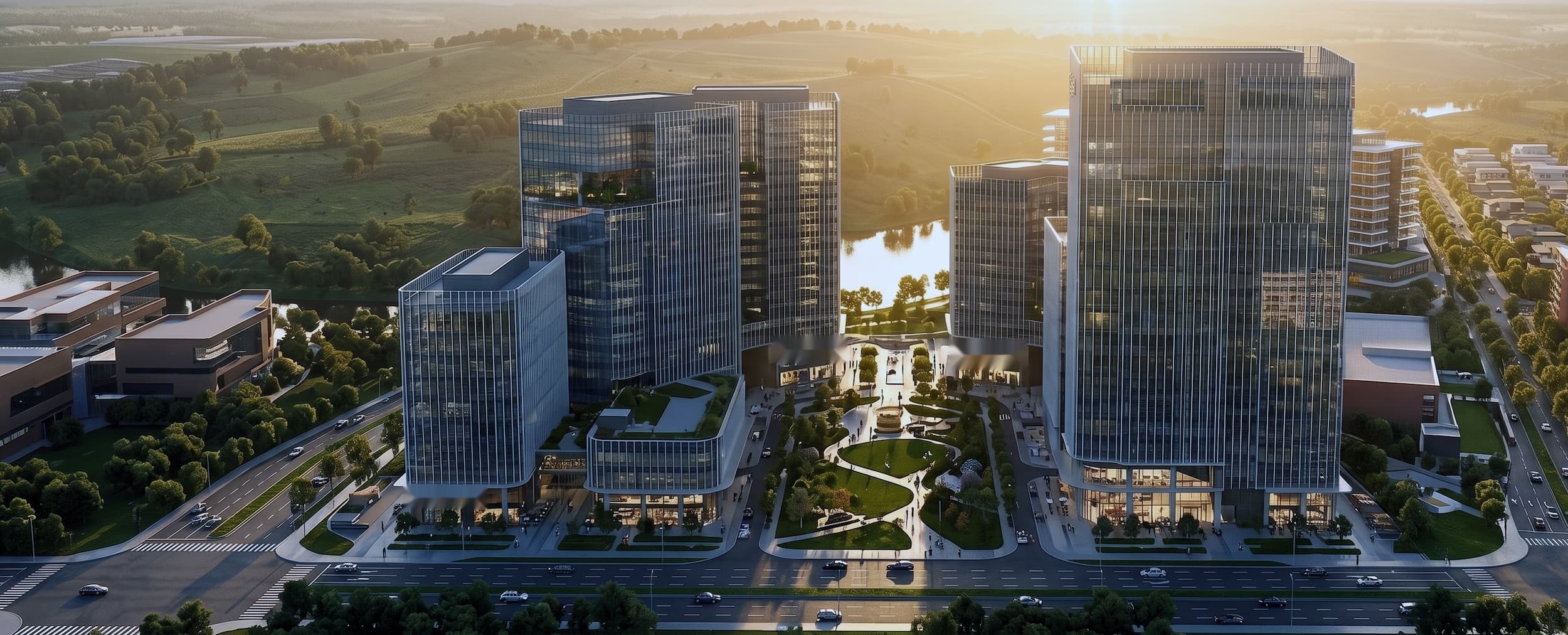
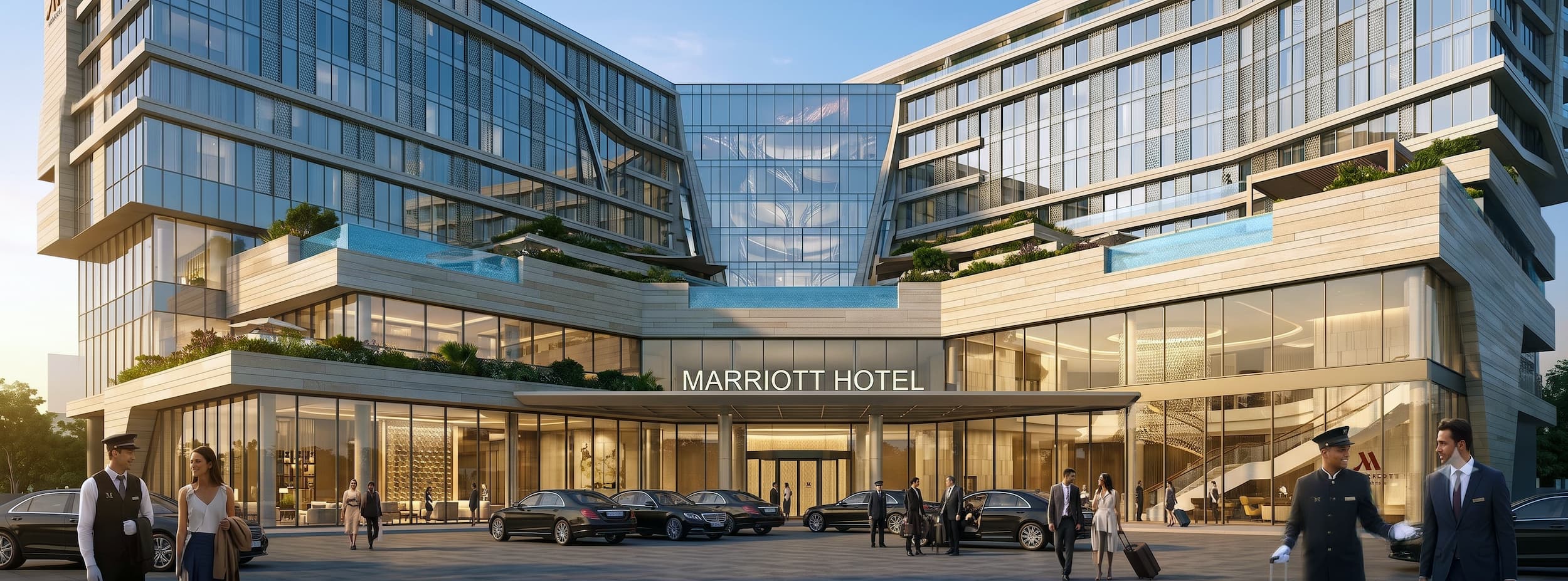
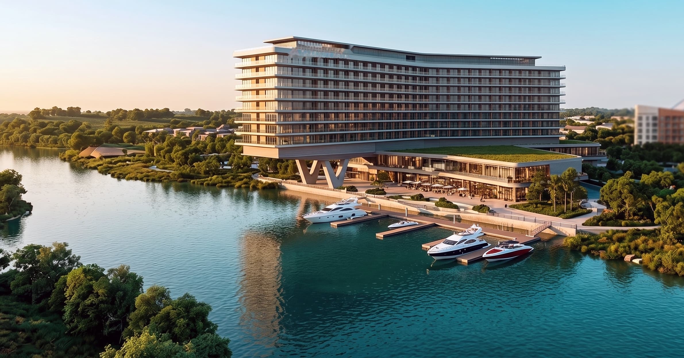
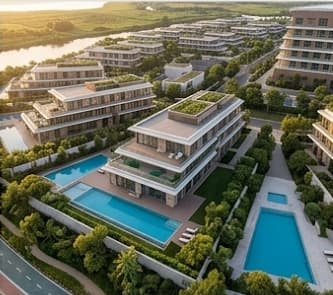
The proposal is a mixed-use waterfront district: a regional shopping mall, a linear office and business park, corporate headquarters, conference and exhibition halls, two hotels, a theme park, villas and condominiums, jetties, and a continuous public promenade along the water.
Lagos and Ogun have an extraordinary amount of waterfront and have made almost nothing of it. Rivers and creeks are treated as drainage and boundary — something to be fenced off, built away from and turned your back on.
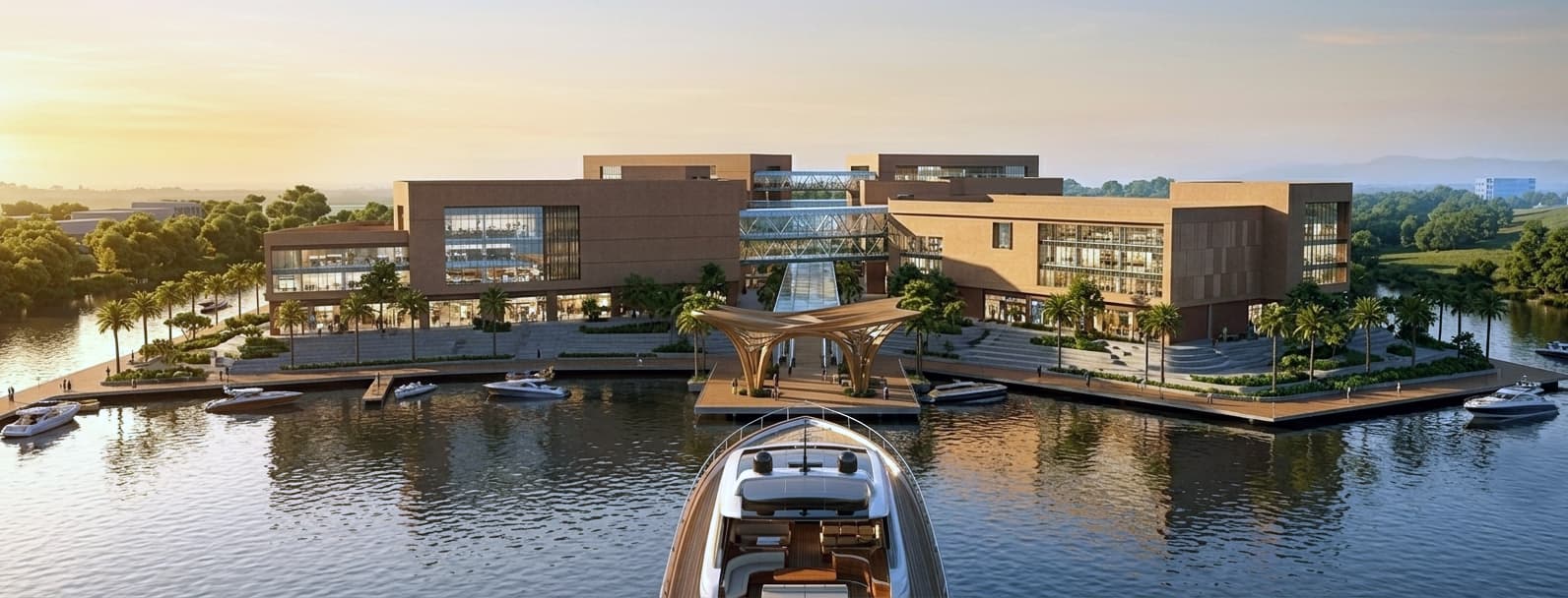
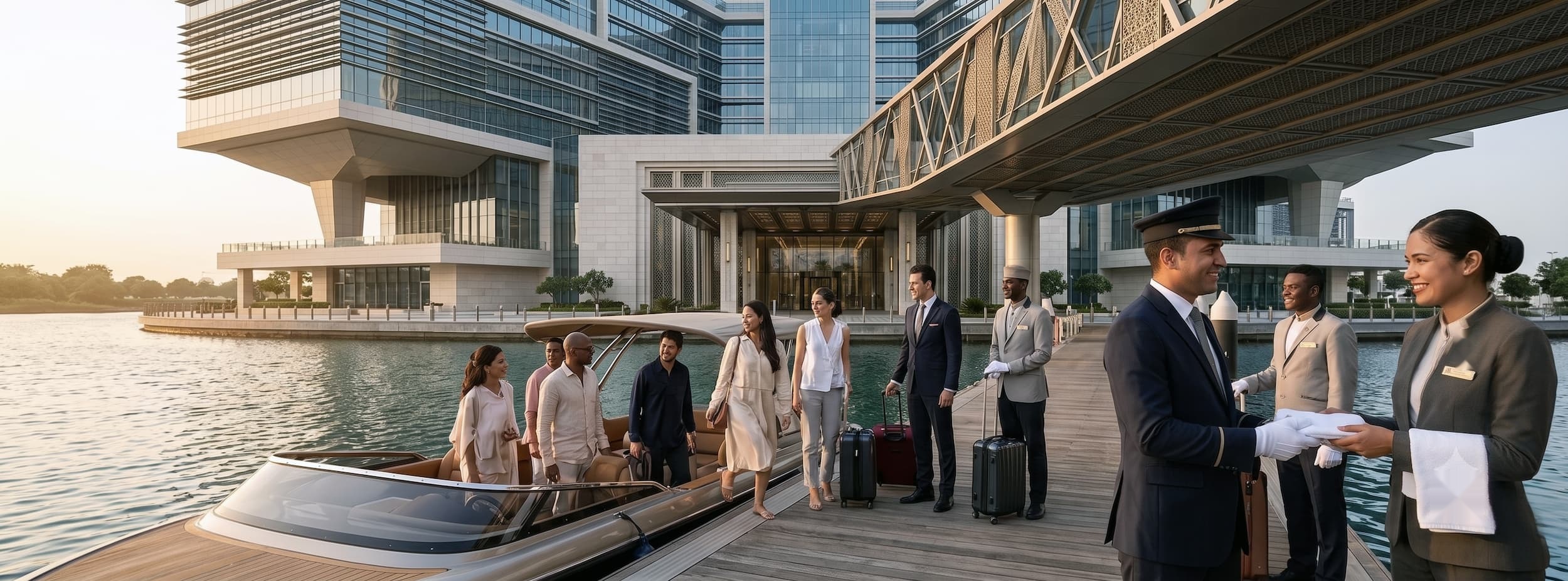
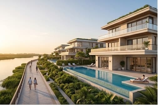
Every decision in this plan runs the other way. The buildings face the water, not the road. The promenade runs the full length of the site, public and unbroken, so the riverbank is something you can walk rather than something you glimpse. Jetties sit at three points along it, because on a navigable river a boat is a reasonable way to arrive and nobody here has built for that.
Commercially, that is where the value is. Waterfront frontage is the one thing on this site that cannot be manufactured anywhere else along the expressway, and a scheme that wastes it on car parking and service yards has thrown away its own premium.
A single-use development of this size is a liability. An office park is dead by seven in the evening and dead all weekend. A mall is quiet every weekday morning. A residential estate on its own generates a commute and nothing else.
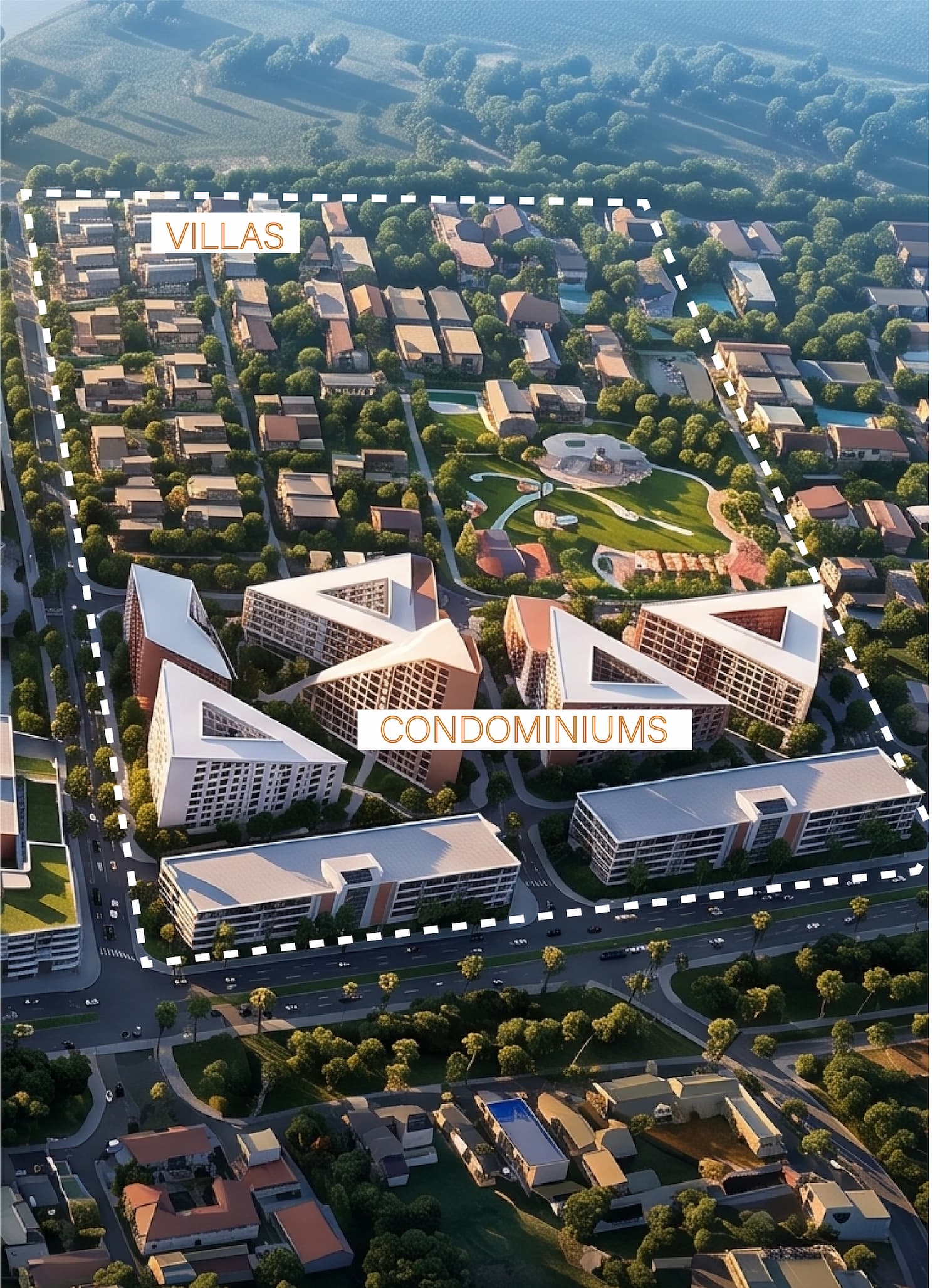
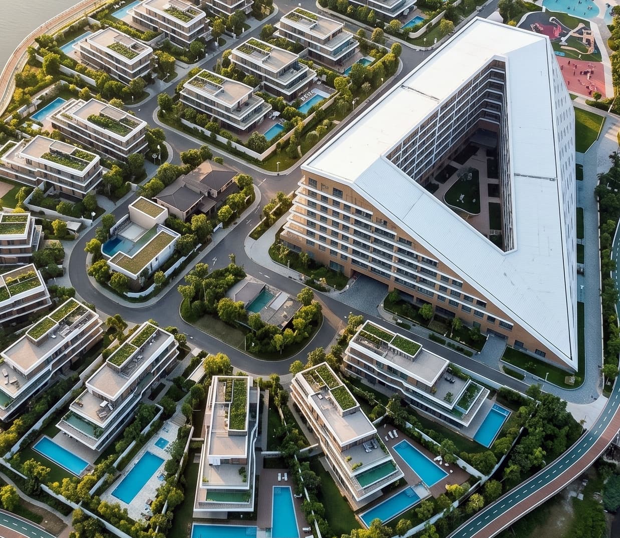
So the plan deliberately mixes: retail and leisure in the river bend, offices and corporate headquarters along the road edge where the address and the access are, hotels between the two, and homes — waterfront villas, parkside villas, mid-rise and condominiums — set back behind the commercial frontage.
The point is that the same promenade is busy at eight in the morning with people walking to work, at one with people eating, at six with people leaving the offices, and at nine with people who live there. Somewhere is always occupied, which is what makes a district feel safe and keeps the retail viable.
It also means the phases can fund each other. On a scheme this size nothing gets built at once, and a masterplan that cannot be delivered in pieces is a picture rather than a plan.
Native wetland reserves are held at both ends of the site, and the agricultural land across the water is kept as a buffer. This is the part most developers would quietly build on.
The Ogun floods. The wetland is what absorbs it. Filling it would gain perhaps fifteen percent more sellable area and put the entire development in the path of the water it used to hold — which, over the life of a scheme like this, is not a trade worth making at any price.
Kept as reserve, the same ground does three jobs: it takes the flood, it holds the ecology that makes the riverfront worth looking at, and it gives every villa and every walker an outlook that cannot be built out later.
Part of the site is occupied today by an established informal settlement along the riverbank, and the plan says so on its face rather than drawing over it.
A masterplan at this scale is not finished when the drawings are. What happens to the people currently living and trading on that land — where they go, on what terms, and in what order relative to construction — is a real part of the brief and belongs in the conversation from the first meeting, not at the point where the bulldozers are being scheduled.
The existing planned residential area adjoining the site is retained and knitted into the scheme rather than walled off from it, and the road network is drawn to serve both.
Planning drawings and computer-generated impressions.
Masterplanning, phasing and the delivery logic to go with it. Tell us the site and what it needs to return.
Start a Conversation